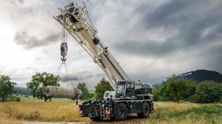
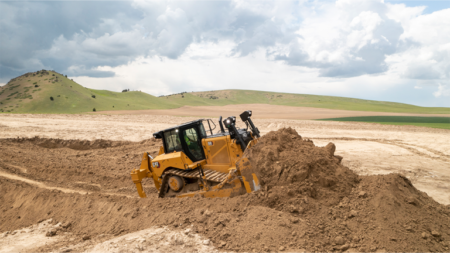
Photo courtesy of Topcon
Topcon Positioning Systems has announced strategic agreements with Bentley Systems and Worldsensing to integrate its advanced GNSS (Global Navigation Satellite System) technology into the companies’ innovative software and connectivity solutions.
“This series of agreements is an example of the innovation and collaboration that is driving technology adoption in our industries,” said Ian Stilgoe, vice president of Emerging Business of Topcon. “Not only are we improving workflows and operational gains for end users, but we are also expanding Topcon GNSS technology into exciting new markets and use cases.”
Bentley Systems
As part of its agreement with Bentley Systems — an industry-leading infrastructure engineering software company whose solutions are used by professionals, and organizations of every size, for the design, construction and operations of roads and bridges, rail and transit, water and wastewater, public works and utilities, buildings, mining and industrial facilities — Topcon will provide access to its powerful web-based GNSS processing engine. Bentley has integrated this technology into its advanced iTwin IoT monitoring solution.
“Combining our expertise in GNSS technology with Bentley’s world-class software platforms will allow users to leverage accurate and real-time geospatial information for improved decision-making and operational effectiveness,” Stilgoe said.
“We’re excited to announce this integration of Topcon’s GNSS technology into our suite of IoT-based monitoring solutions,” said Steve Bentley, senior director of Infrastructure IoT for Bentley Systems. “This integration will enable our users to combine cost-effective geospatial monitoring data with the wide range of geotechnical, environmental and structural sensor data that we already support — providing real-time asset intelligence that can be combined with engineering data to advance infrastructure digital twins.”
Worldsensing
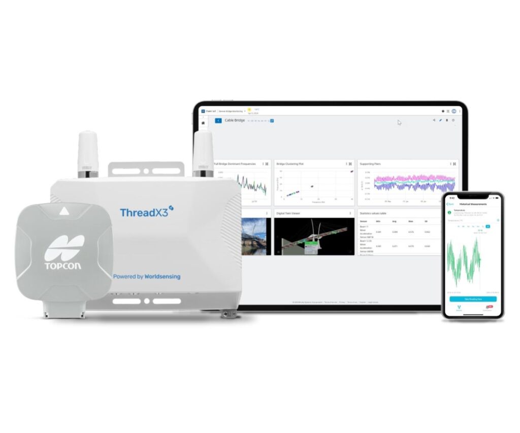
A global IoT pioneer in connectivity solutions for geotechnical, structural and environmental monitoring, Worldsensing has integrated the Topcon AGM-1 GNSS receiver with its Thread X3 broadband product. The result is a new Accurate Positioning System to monitor geohazards such as rock falls and landslides in pit mines, rail embankments and other ground structures.
“This will empower industry professionals to proactively identify potential risks of subsidence, heave, landslip, settlement and undertake preventive measures,” Stilgoe said. “Mining operations and the rail industry will greatly benefit from this collaboration. Professionals in these fields can now access a comprehensive monitoring solution that ensures the safety of their operations while optimizing productivity, all at a much lower cost than before.”
This integration marks a significant milestone in geohazard monitoring technology, offering a connect-and-collectsolution that enables real-time detection and analysis of potential risks. By leveraging GNSS technology as the core component, Topcon and Worldsensing bring cost-effectiveness and efficiency to ground-movements monitoring applications while reducing the initial investment required for GNSS monitoring.
“This new offering aims to address the common challenges facing IoT deployments today, namely access to end-to-end, scalable, and flexible solutions,” said David Deprez, managing director of Worldsensing. “We are facilitating IoT mass deployment for GNSS monitoring in collaboration with leading technology providers in the field. Customers will quickly recognize the value of this game-changing offer.”
Available for commercial use in the United States, Canada, Australia and EMEA (Europe, Middle East, and Africa), the solution will expand its reach to South and Latin America.
For more information, visit topconpositioning.com, bentley.com and worldsensing.com.
Read the full article here

